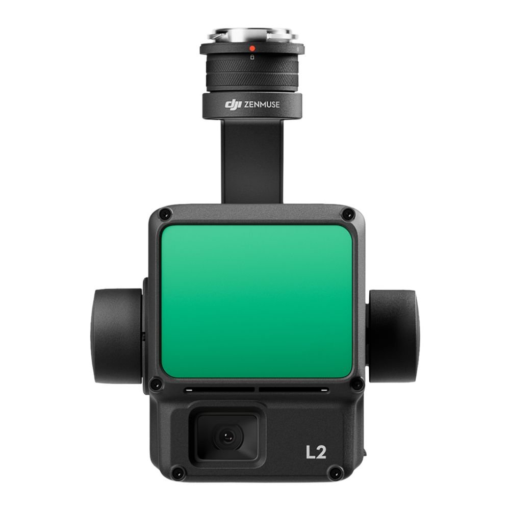
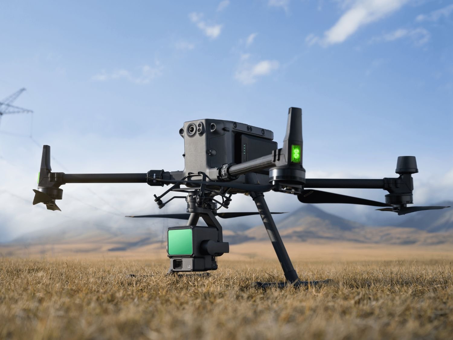
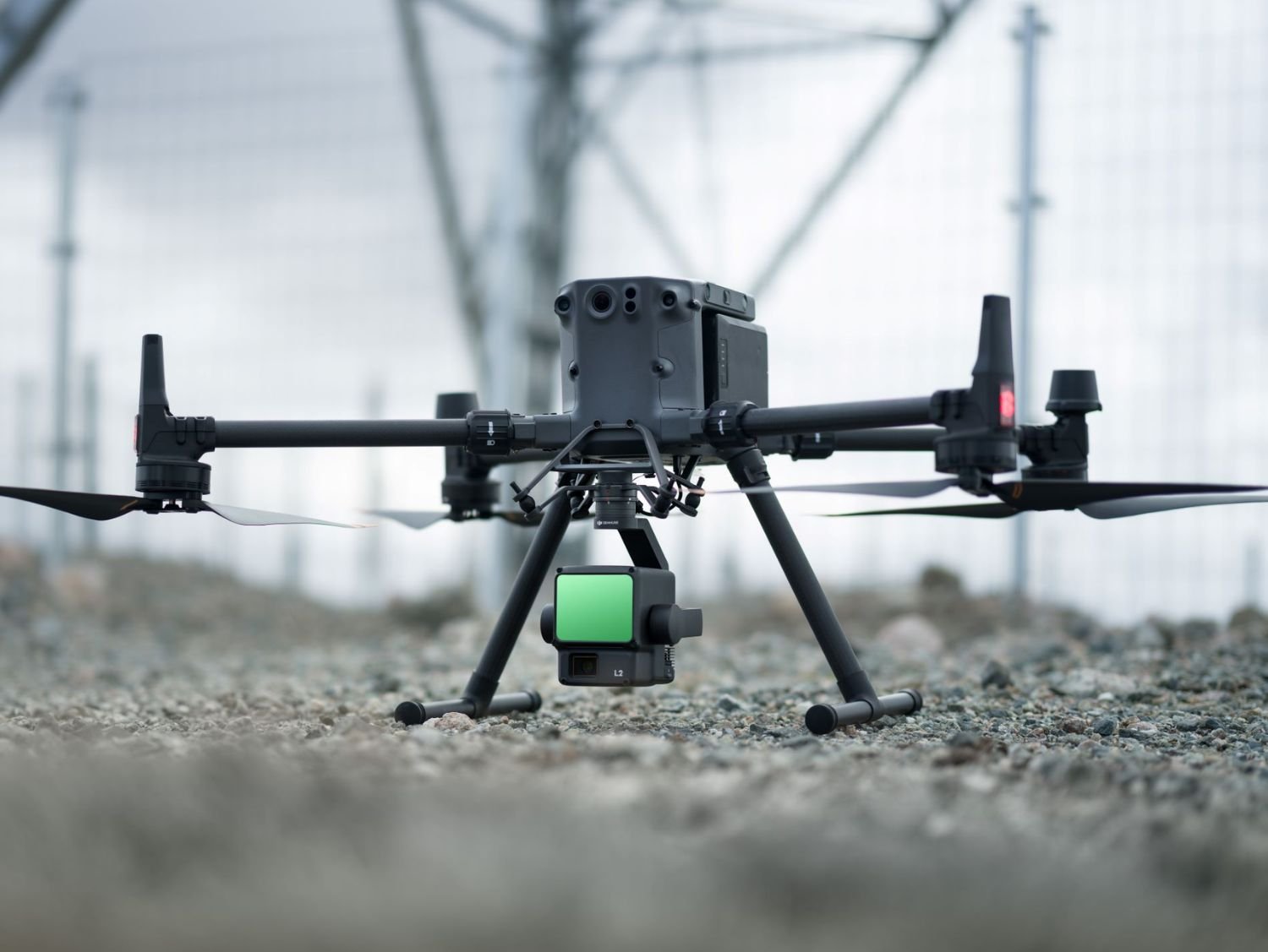
Zenmuse L2
Rent DJI Zenmuse L2 LiDAR sensor in Sri Lanka for high-accuracy aerial surveying, terrain mapping, forestry analysis, and infrastructure inspection projects.
- Description
- Additional information
Description
Advanced DJI Zenmuse L2 LiDAR Sensor Rent in Sri Lanka
Zenmuse L2 Rent in Sri Lanka
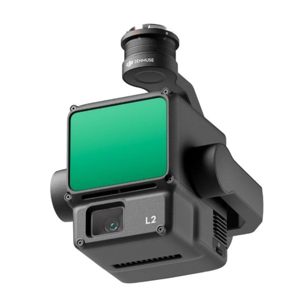
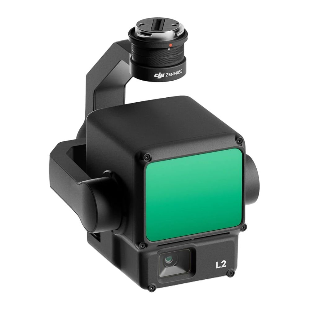
The DJI Zenmuse L2 is a next-generation LiDAR and RGB mapping payload designed for ultra-precise aerial surveying, terrain mapping, and infrastructure inspection. Choosing Zenmuse L2 rent in Sri Lanka gives professionals access to cutting-edge LiDAR technology without the high capital investment, making it ideal for engineering firms, surveyors, government projects, environmental researchers, and drone service providers operating under CAASL regulations.
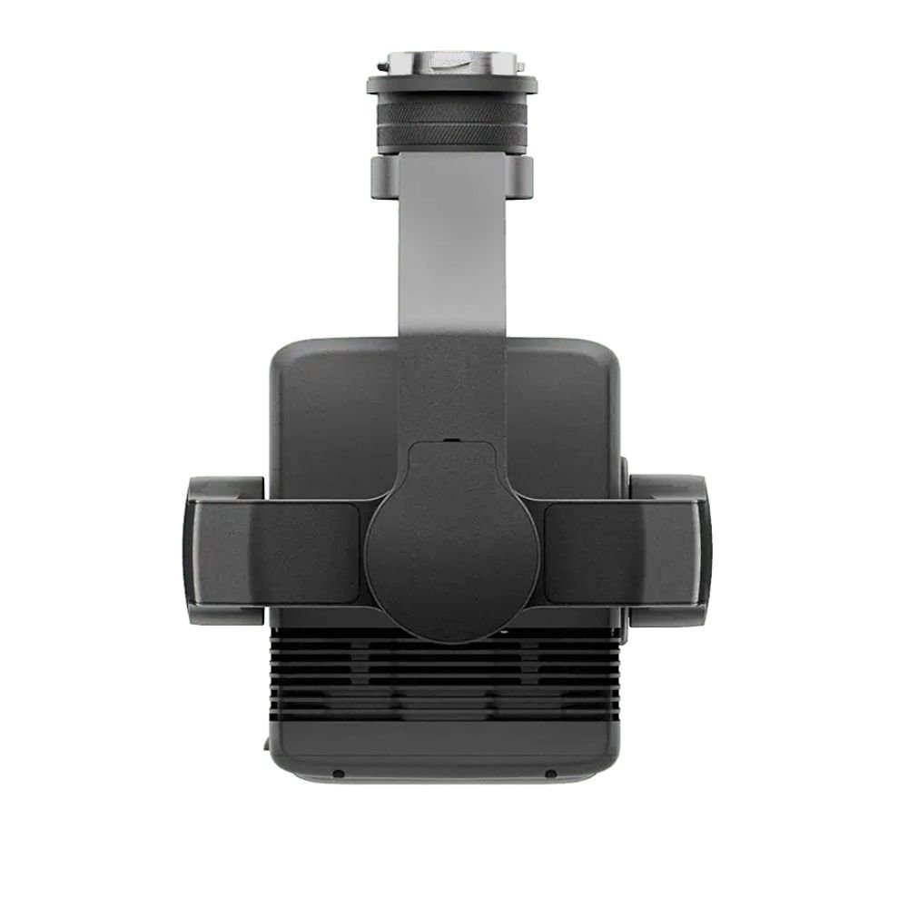
Built to work seamlessly with DJI enterprise drones such as the Matrice 350 RTK, the Zenmuse L2 combines a high-accuracy LiDAR module, RGB mapping camera, and IMU system into one powerful payload. This allows accurate 3D point-cloud generation even in challenging Sri Lankan environments such as dense forests, mountainous terrain, plantations, flood zones, construction sites, and urban corridors. With advanced penetration capability, the Zenmuse L2 can capture ground data beneath vegetation, making it highly effective for forestry surveys, land development, road planning, and disaster-risk assessment.
Key Features & Main Specifications
The Zenmuse L2 features a frame-based LiDAR system paired with a 4/3 CMOS RGB camera, enabling synchronized LiDAR and visual data capture. Its high-precision IMU ensures stable orientation and accurate georeferencing, even during complex flight paths. The sensor supports high pulse repetition rates, allowing dense point-cloud output suitable for engineering-level analysis.
Advanced calibration and real-time data recording improve accuracy and reduce post-processing complexity. This optimized for DJI Terra and other professional photogrammetry workflows, making it easy to generate DEMs, DSMs, contours, and 3D models. Designed for enterprise missions, it performs consistently across Sri Lanka’s diverse terrain—from coastal plains to hill country elevations.
Applications in Sri Lanka
- Land & topographic surveying
- Forestry & vegetation analysis
- Construction & infrastructure mapping
- Road, railway & highway planning
- Powerline & utility corridor inspection
- Flood modeling & disaster assessment
- Mining, quarry & volume calculations
- Environmental monitoring projects
Additional information
| Brand | DJI |
|---|---|
| Model | Zenmuse L2 |
| Sensor Type | LiDAR + RGB Camera |
| Compatibility | DJI Matrice 350 RTK |
| Use Case | Surveying & Mapping |


