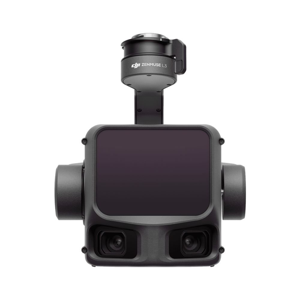
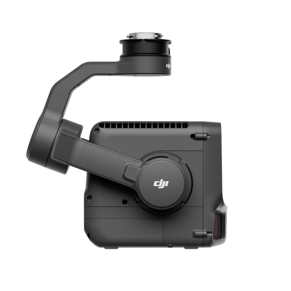
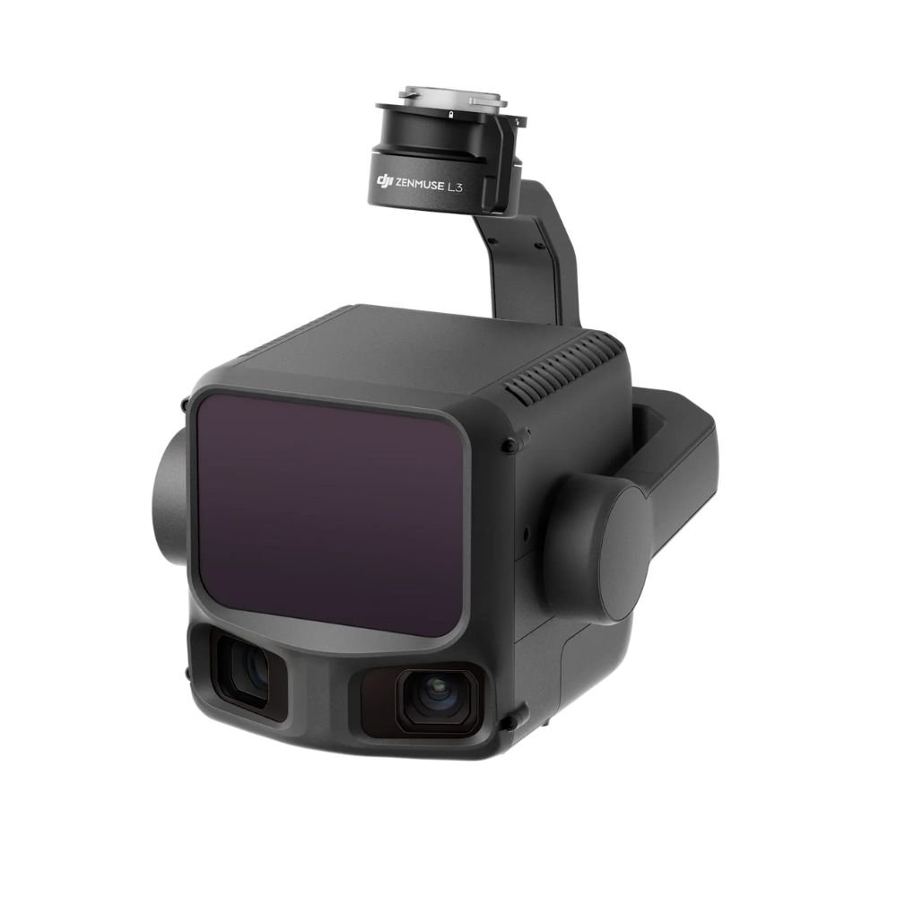
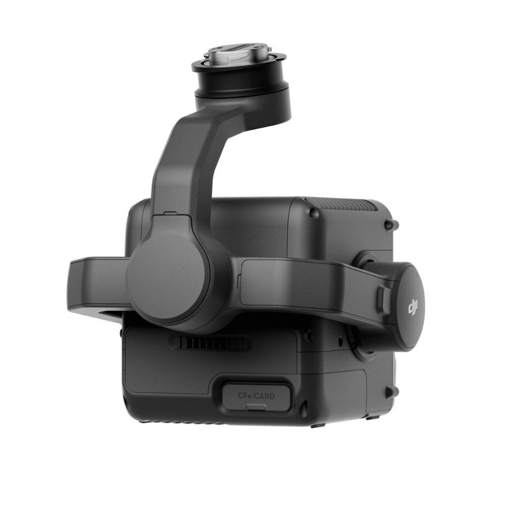
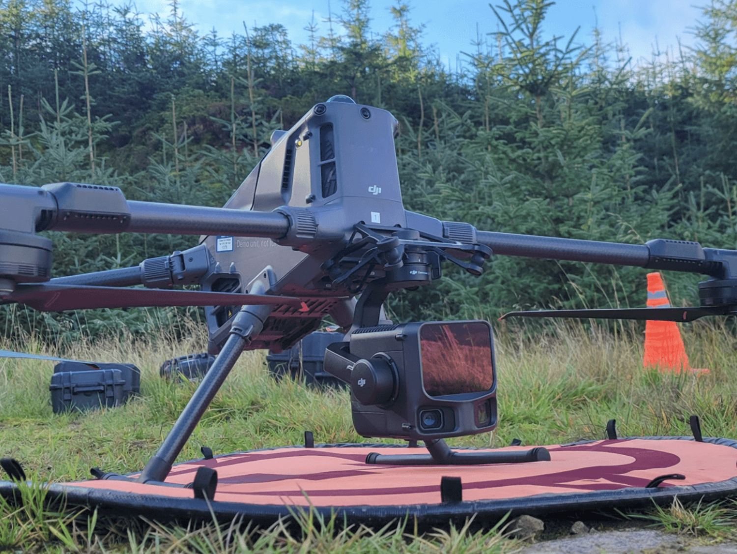
Zenmuse L3
Zenmuse L3 rent in Sri Lanka provides high-precision LiDAR drone technology for professional aerial surveying, terrain mapping, and 3D point-cloud data capture.
- Description
- Additional information
Description
Advanced Zenmuse L3 LiDAR Drone Rental in Sri Lanka
Zenmuse L3 LiDAR Rent in Sri Lanka – Professional Aerial Mapping Solution
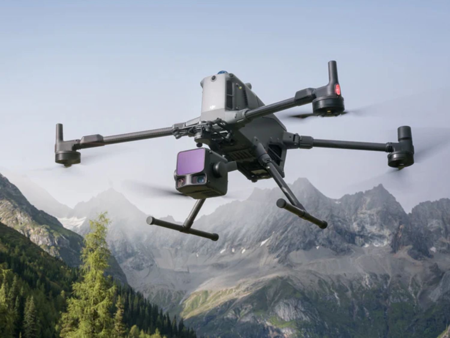
The Zenmuse L3 LiDAR rent in Sri Lanka service delivers cutting-edge aerial laser scanning capabilities for professionals who require high-accuracy 3D mapping, terrain modeling, and geospatial data collection. Designed for integration with DJI enterprise drone platforms, the Zenmuse L3 represents the next generation of aerial LiDAR technology, enabling surveyors, engineers, environmental analysts, and government agencies to capture precise point-cloud data even in dense vegetation and complex terrain.
Unlike traditional photogrammetry, LiDAR technology used in the L3 penetrates foliage and captures ground elevation with exceptional clarity. This makes it an ideal solution for topographic surveys, forestry mapping, corridor inspections, mining operations, flood modeling, and infrastructure planning across Sri Lanka. Whether operating in urban developments, mountainous regions, or dense tropical forests, the ensures reliable data acquisition under demanding conditions.
With Zenmuse L3 rental in Sri Lanka, clients gain access to enterprise-grade LiDAR performance without the high capital cost of ownership. The payload is engineered for stable flight integration, intelligent data synchronization, and efficient field operations, making it suitable for both short-term and long-term survey missions. When paired with professional pilots and CAASL-compliant operations, this system delivers dependable results for critical projects.
Key Features & Main Specifications
- High-precision LiDAR sensor for detailed 3D mapping
- Optimized for enterprise DJI drones used in surveying and inspection
- Accurate terrain capture under vegetation and challenging landscapes
- Integrated IMU and GNSS data synchronization for reliable georeferencing
- Efficient data collection for large-scale survey areas
- Supports professional LiDAR processing workflows
Applications in Sri Lanka
- Land & topographic surveys
- Forestry & vegetation analysis
- Flood-risk and watershed modeling
- Mining & quarry volume calculations
- Infrastructure & road corridor mapping
- Smart city & urban planning projects
Additional information
| Payload Type | LiDAR Sensor |
|---|---|
| Compatible Drones | DJI Enterprise Series |
| Use Case | Surveying & Mapping |
| Data Output | 3D Point Cloud |
| Operation Type | Professional / Authorized |


